Precision Geospatial Insights

Transforming satellite data into actionable insights for sustainable land-use decisions in agriculture and forestry.

woman wearing yellow long-sleeved dress under white clouds and blue sky during daytime

Quantum Net Technology transformed our land management with precise insights from satellite imagery and analytics.

Green Farms

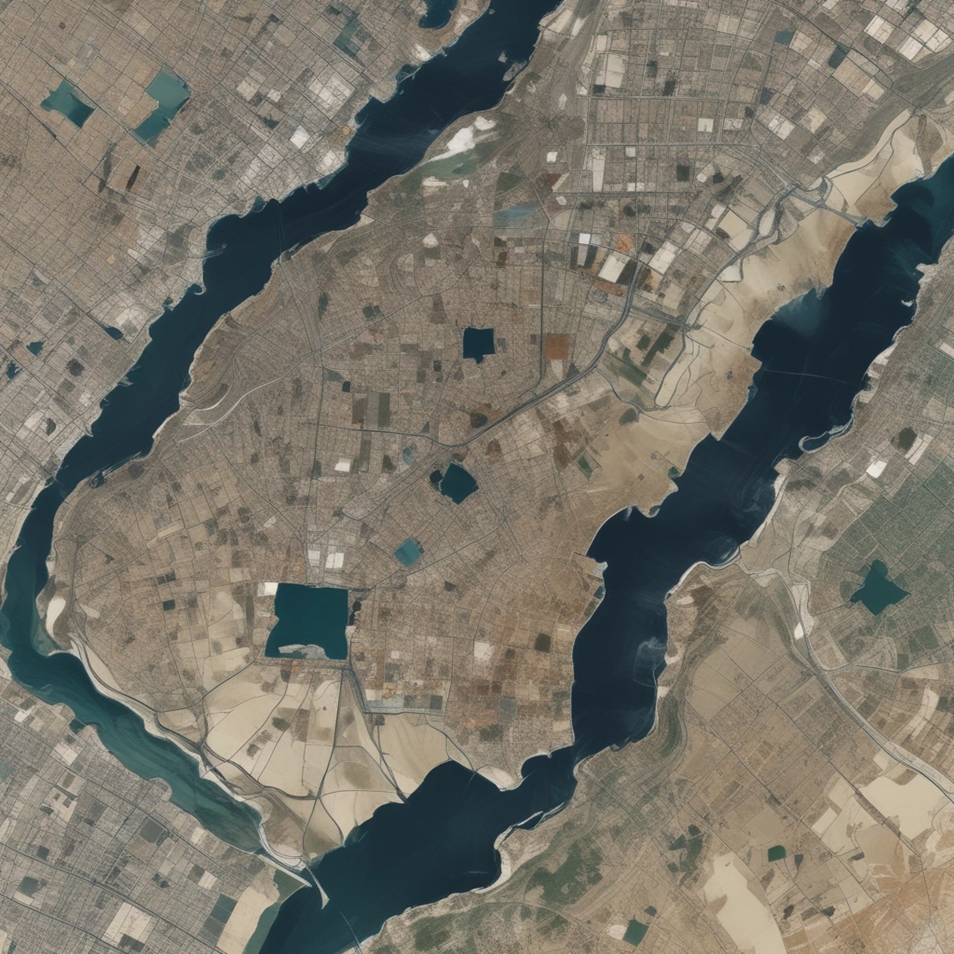
An aerial satellite view of a large desert landscape characterized by vast expanses of reddish-brown terrain. Sparse areas of green vegetation are scattered throughout, with a bright blue body of water located at the top of the image. The terrain exhibits various shades of earthy colors with visible patterns of natural formations.

Their expertise in geospatial analytics significantly improved our crop yield and sustainability practices this season.

AgriCorp

A vivid satellite image highlighting a large glacial landscape with striking swirls of ice. The ice appears in vibrant blues and whites, contrasted starkly by surrounding red and brown rocky terrains. Snow-capped mountains frame the upper portion of the image, while the bottom edge reveals a dark blue body of water along the coastline. The flowing patterns suggest a dynamic movement of ice across the terrain.
★★★★★
★★★★★